Why Abingdon? The official start of the MABDR is Damascus, VA, way down in the toe of Virginia just a couple of miles from the place where Virginia, North Carolina and Tennessee meet. And, incidentally, just a stone’s throw from the Appalachian Trail.
Day 1 – To Charleston, WV
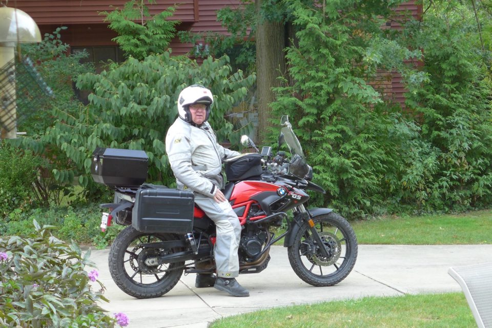
I’m going to take two days to get to Damascus – my goal today is Charleston, WV. I got away at 10 AM, good time for me. The weather was cool and overcast, traffic light, all was well. I think I did the best job of packing for a trip like this that I have ever done. I guess time will be the judge of that.
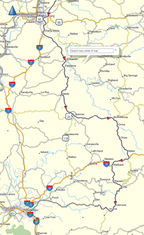
I rode the interstate directly south of Cleveland to the West Virginia border to get to the interesting roads as soon as I could. I have much less experience riding in West Virginia than I have in Ohio, and West Virginia is known for its hills, curves, small roads, and remote areas.
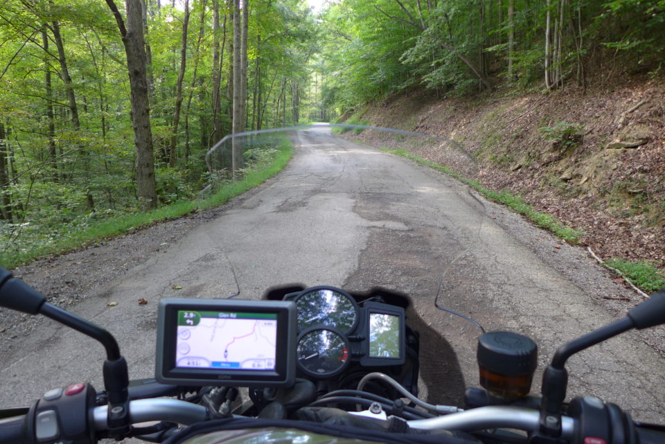
West Virginia is known for its lane and a half roads, like this one. I got off the numbered state highways the last hour of the ride and took roads that were shown on the map as light gray lines, with no names. They were paved, usually in pretty good repair, but often with the shoulders falling off the side of the highway, and patches in the blacktop. But I enjoy such roads. I didn’t see a soul on the road, and you feel really a part of your surroundings. This was good practice for what is to come in the MABDR.
Day 2 – To Abingdon, VA
It turns out that Coop, Rich and Peter of our group stayed in Charleston last night, so we met for breakfast and decided to ride together the rest of the way to Abingdon.
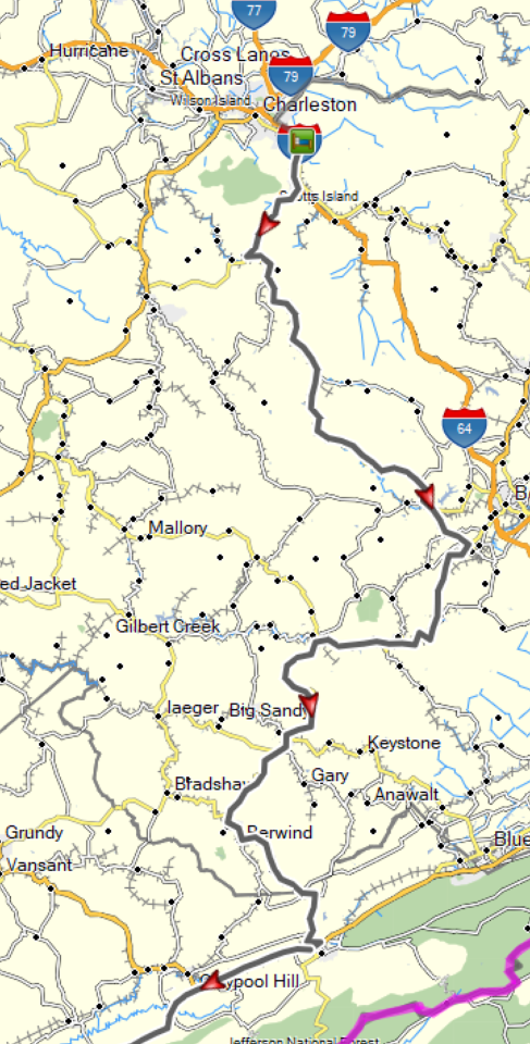
We rode the coal heritage route down to the Virginia border, taking SR 3 most of the way from Charleston to Beckley, and then SR 18 on down. The roads were very hilly and curvy through hollers of coal country. Most of the coal mining has left, but you see the remnants of the coal towns lining the roads, and the mining operations no longer in use.
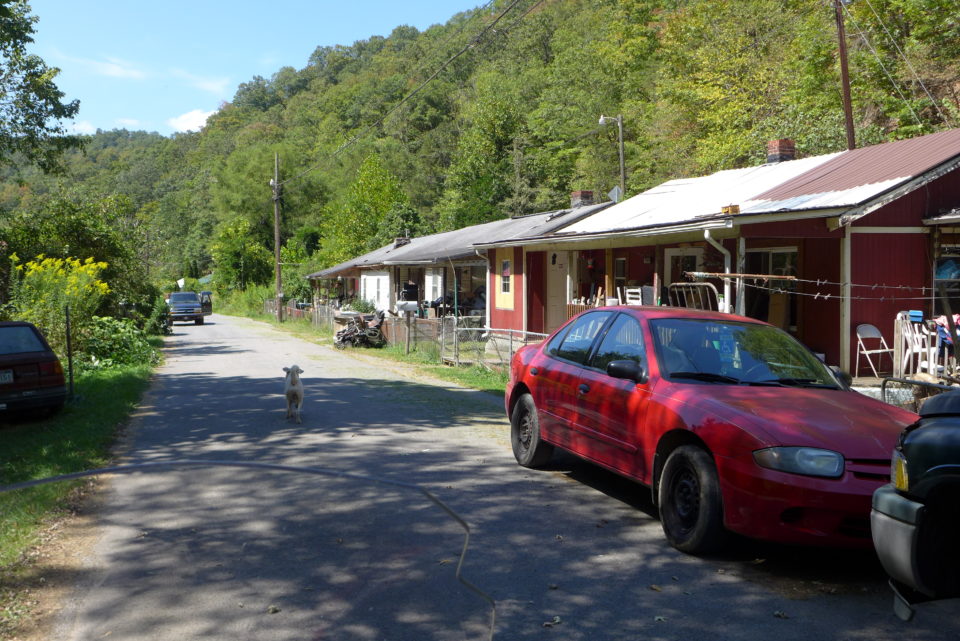
I noticed a largely deserted coal town, or so I thought, down a small gravel road that led of the main highway. I’m sure the road you see here was once the main road through the village. Half a dozen dogs came out to greet me, and a woman warily stuck her head out the partially opened screen door to see what was going on. Just around the corner and out of sight here I passed a dilapidated house with a man sitting on the porch. Such a different scene than 50 or 100 years ago when the mines were in full swing. Now the towns are largely deserted and many of the the miners’ houses are vacant and rotting away.
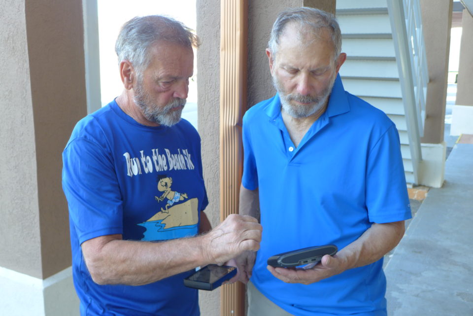
We all made it to the Red Roof Inn in Abingdon by 5 PM today. The first item of discussion was GPSes. Most of us are used to using routes that include turn by turn directions, but routes rely on maps in the GPS that lay out highways. On this ride we are anticipating some of the route will be trails that aren’t on the map, and many of the roads will be unmarked, so the recommendation of those who know is to use tracks. We’re all scrambling to figure how to use tracks. Coop is the only one with experience with tracks, and the rest of us are learning. I may do a little tutorial on routes and maps a little later in the ride once we get it all figured out.
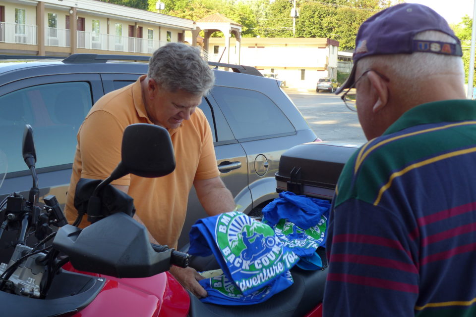
Coop thoughtfully marked the occasion of our ride with special T-shirts he passed out this evening. He even got the sizes correct.
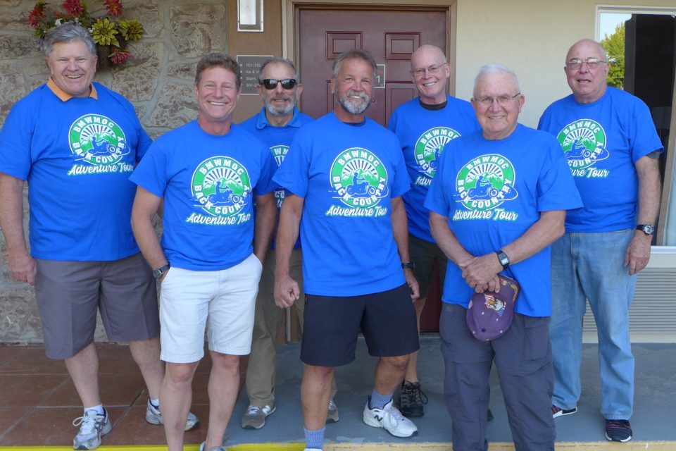
Then we had to have our picture taken. Tomorrow or the next day I’ll write a little more about each person and his bike (and tires). We are all members of the BMW Motorcycle Owners of Cleveland Club, and all of us are regulars at the weekly Wednesday breakfast ride. It looks like we could be in for a good time.