The route today was a bit shorter than usual, only 135 miles. But I was so anxious about getting my blog up to date that I got a late check-out and stayed in my room until noon. Then took the easy paved route all the way today by myself. No pictures of my mates riding today – they are off on their own.
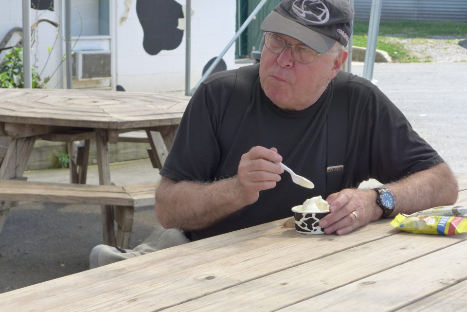
The South Mountain Creamery was on the route so I stopped for a treat. The heat and breeze melted the ice cream fast releasing the aroma of fresh dairy and creating a rich creamy treat. This was a working dairy so the smells of cows, raw milk, and manure all mingled in the air. It brought back good memories of when I was a kid and we had diary cows.
It was all paved roads today, but the scenery was beautiful as I rode north out of Maryland and into Pennsylvania state forests. Not quite the same sense of oneness with your surroundings as when riding the little dirt roads, but very pleasant.
The MABDR route is mostly in forested land, often so dense that the road is completely canopied in shade and you can’t see much of the surrounding landscape for trees around you. But in Pennsylvania as you transition from one mountain range to the next you often ride through valleys or sometimes along ridge tops that provide expansive views of the country side, dotted with large dairy farms.
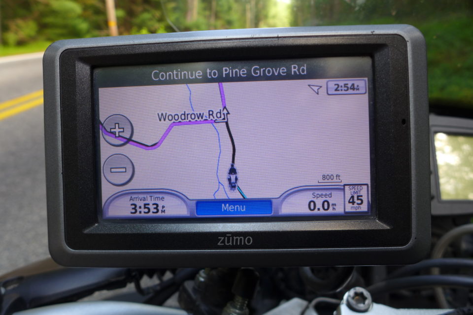
As I had mentioned earlier, GPSKevin has laid out easy and difficult sections along the way that are alternatives to the standard MABDR route which is mainly dirt and gravel. I usually convert the MABDR tracks to a routes so I get turn by turn directions, but the GPS won’t display more than one route at a time. The problem was how to know when an easy paved alternative came along so I could load it into the GPS and follow it. I have been doing a lot of thinking about navigation and experimenting with the GPS on this trip and I realized that if I loaded the alternate routes in the form of tracks my GPS could display them (black line above) along with the MABDR route (magenta line) I was following. When I get home I’m going to add a page to this adventure where I’ll explain how GPS navigation works, and what tracks and routes are and how to use them,for future reference.
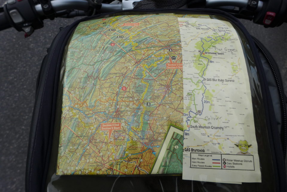
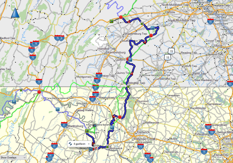
I always like to have paper maps along in addition to the GPS. The MABDR map tells me where I am in relation to the surrounding geographical area. GPSKevin’s map shows me today’s MABDR route in blue and the easy sections in green, and serves as a back-up to my GPS to make sure I take the alternate easy alternatives when they are available.
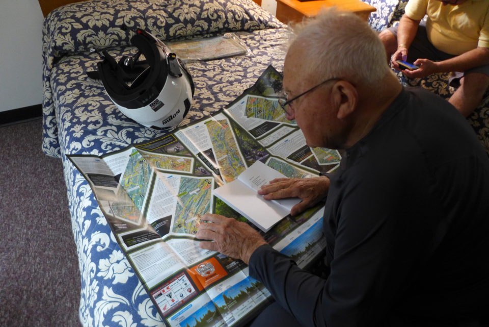
Each day we decide whether to take the original route part or all of the way, or opt for some of the easy paved alternates (the difficult alternate routes are above our level of skill and guts). Once we figure out the plan we load the correct tracks and routes into our GPSes and decide which maps to take along. Some days we split into several groups who take different routes or go at a different pace. Navigation and planning are a big part of the fun of riding adventures.